The floods of July 2026: cloudbursts, embankments and warning
LeadPrelims and MainsJuly 2026
Why in news
Assam's eastern districts saw what the State called its worst floods in 60 years in July 2026, after a cloudburst in Nagaland. In the same month floods struck Jammu and Kashmir, Gujarat and Odisha, each from a different cause.
Background
- A flood is not one hazard. A river flood builds over days; a flash flood arrives within hours of intense rain; an urban flood comes when drains cannot carry the water.
- A cloudburst is very heavy rain over a small area in a short time, common where moist air is forced up steep slopes.
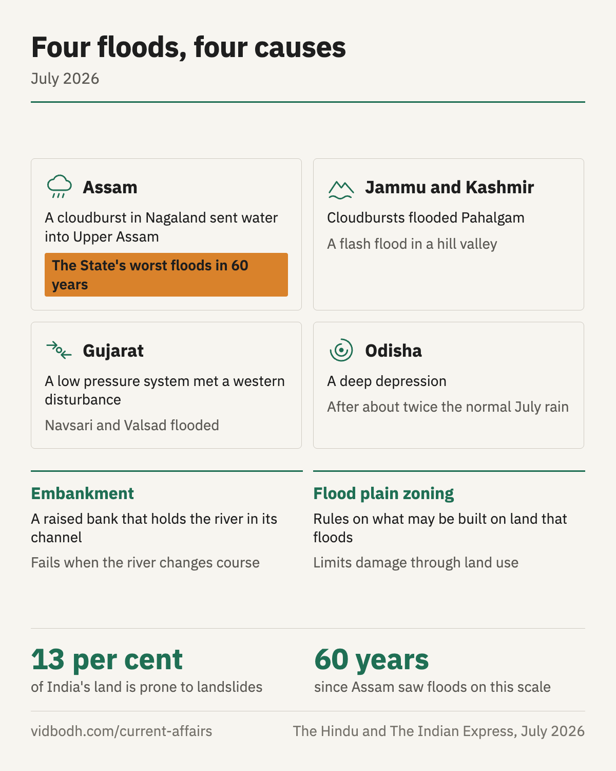
- An embankment is a raised bank built along a river to hold it in its channel. It protects the land behind it only as long as the river keeps its course.
- The Brahmaputra carries a heavy load of silt, and it shifts its channels once it leaves the hills and enters the flat Assam valley.
Four floods, four causes
- Assam: a cloudburst in Nagaland's Mon district sent water down into Sivasagar, Charaideo, Jorhat and Golaghat, districts that rarely flood on this scale. It spilled over the embankments and ran across open country.
- Jammu and Kashmir: cloudbursts flooded Pahalgam, where hotels were criticised for standing on flood channels.
- Gujarat: a low pressure system from the Bay of Bengal met a western disturbance; the heavy spell flooded Navsari and Valsad in the south and closed highways in the Ahmedabad industrial belt.
- Odisha: a deep depression arrived at the end of a month that had already brought about twice the normal rain.
Why embankments were not enough
- The Assam flood did not come along the river's usual flood plain, so the embankments were in the wrong place.
- An embankment also raises the river bed over time, as silt settles inside it, and a breach then does more damage.
- Flood plain zoning, which regulates what may be built on land that floods, limits damage through land use and not through walls.
Warning: the landslide lesson
- About 13 per cent of India's land is prone to landslides.
- A fortnight before the Wayanad disaster of 2024, landslides in the Munnar hills caused no deaths, because the district evacuated people on the advice of a team testing a warning system.
- Such systems exist only as scattered pilots, not as a national network tied to an evacuation plan.
- The Bharat Forecast System now gives forecasts for a cluster of panchayats, which makes local warning possible.
The way forward
- Adopt flood plain zoning in State law, which most States have not done.
- Treat the river as a basin, across State lines, since Assam's flood began in Nagaland.
- Build warning into a national network with a fixed evacuation protocol, for landslides as for floods.
- Keep construction off flood channels and unstable slopes in hill towns.
Prelims facts
- Mon is a district of Nagaland; the flood it caused was in Upper Assam.
- About 13 per cent of India's land is prone to landslides.
- A deep depression ranks between a depression and a cyclonic storm.
- Flood control is largely a State subject.
See also: Landslide early warning · Mission Mausam · Brahmaputra Board
Sources: The Indian Express, 20 Jul 2026: The 2026 monsoon floods hit places the flood maps did not expect, in Upper Assam, Jammu and Kashmir and south Gujarat (opens in a new tab) · The Indian Express, 24 Jul 2026: The 2026 monsoon floods hit places the flood maps did not expect, in Upper Assam, Jammu and Kashmir and south Gujarat (opens in a new tab) · The Indian Express, 25 Jul 2026: The 2026 monsoon floods hit places the flood maps did not expect, in Upper Assam, Jammu and Kashmir and south Gujarat (opens in a new tab) · The Hindu, 22 Jul 2026: Death toll rises to 41 as 'worst floods in 60 years' wreak havoc in Assam (opens in a new tab) · Frontline, 4 Aug 2026: Assam's floods affected over 1.3 lakh people in a season with a rainfall deficit, and the institution meant to manage the basin has never been given statutory teeth. (opens in a new tab) · The Indian Express, 11 Jul 2026: Landslide early warning systems work, and India has already shown it, but they exist only at a few pilot sites (opens in a new tab) · PIB, 22 Jul 2026: PARLIAMENT QUESTION: BHARAT FORECAST SYSTEM (opens in a new tab)
Earlier coverage: Monsoon floods of July 2026 · The monthly magazine, July 2026